Winterthur / District boundary
Loading map…
‹ All districts
110 · ZH · District
Winterthur
- BFS number
- 110
- Canton
- Zürich (ZH)
- Population
- 182’06531 December 2024
- Area
- 251.75 km²
Download Winterthur
Download GeoJSON Covers the area outside the district. Boundary coordinates: WGS 84Municipalities (19)
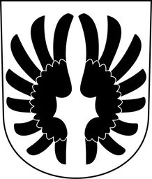 Altikon · BFS 211
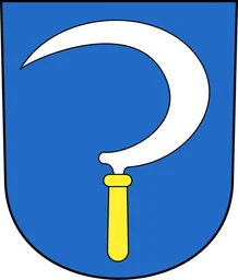 Brütten · BFS 213
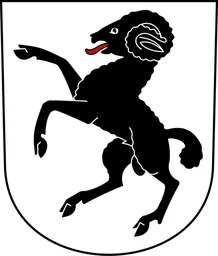 Dägerlen · BFS 214
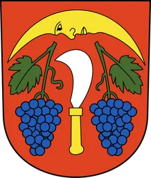 Dättlikon · BFS 215
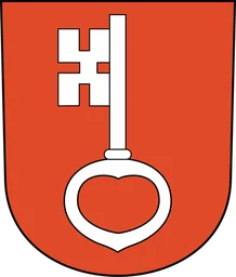 Dinhard · BFS 216
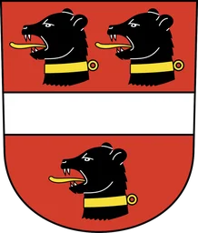 Elgg · BFS 294
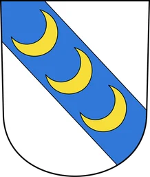 Ellikon an der Thur · BFS 218
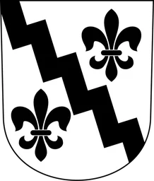 Elsau · BFS 219
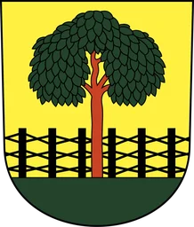 Hagenbuch · BFS 220
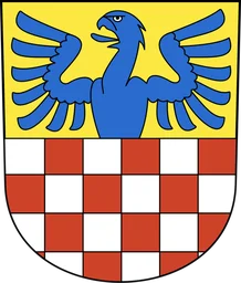 Hettlingen · BFS 221
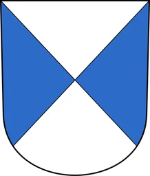 Neftenbach · BFS 223
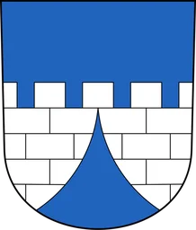 Pfungen · BFS 224
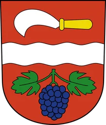 Rickenbach (ZH) · BFS 225
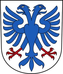 Schlatt (ZH) · BFS 226
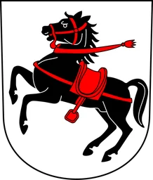 Seuzach · BFS 227
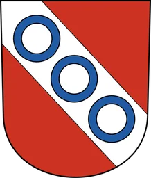 Turbenthal · BFS 228
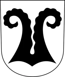 Wiesendangen · BFS 298
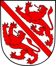 Winterthur · BFS 230
 Zell (ZH) · BFS 231