Bremgarten / District boundary
Loading map…
‹ All districts
1903 · AG · District
Bremgarten
- BFS number
- 1903
- Canton
- Aargau (AG)
- Population
- 83’95131 December 2024
- Area
- 117.47 km²
Download Bremgarten
Download GeoJSON Covers the area outside the district. Boundary coordinates: WGS 84Municipalities (22)
 Arni (AG) · BFS 4061
 Berikon · BFS 4062
 Bremgarten (AG) · BFS 4063
 Büttikon · BFS 4064
 Dottikon · BFS 4065
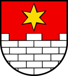 Eggenwil · BFS 4066
 Fischbach-Göslikon · BFS 4067
 Hägglingen · BFS 4068
 Islisberg · BFS 4084
 Jonen · BFS 4071
 Niederwil (AG) · BFS 4072
 Oberlunkhofen · BFS 4073
 Oberwil-Lieli · BFS 4074
 Rudolfstetten-Friedlisberg · BFS 4075
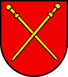 Sarmenstorf · BFS 4076
 Tägerig · BFS 4077
 Uezwil · BFS 4078
 Unterlunkhofen · BFS 4079
 Villmergen · BFS 4080
 Widen · BFS 4081
 Wohlen (AG) · BFS 4082
 Zufikon · BFS 4083