Brugg / District boundary
Loading map…
‹ All districts
1904 · AG · District
Brugg
- BFS number
- 1904
- Canton
- Aargau (AG)
- Population
- 53’14231 December 2024
- Area
- 130.07 km²
Download Brugg
Download GeoJSON Covers the area outside the district. Boundary coordinates: WGS 84Municipalities (19)
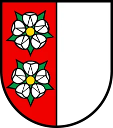 Auenstein · BFS 4091
 Birr · BFS 4092
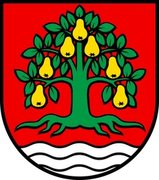 Birrhard · BFS 4093
 Bözberg · BFS 4124
 Brugg · BFS 4095
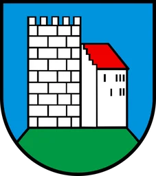 Habsburg · BFS 4099
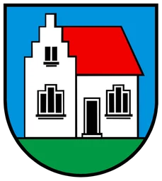 Hausen (AG) · BFS 4100
 Lupfig · BFS 4104
 Mandach · BFS 4105
 Mönthal · BFS 4106
 Mülligen · BFS 4107
 Remigen · BFS 4110
 Riniken · BFS 4111
 Rüfenach · BFS 4112
 Schinznach · BFS 4125
 Thalheim (AG) · BFS 4117
 Veltheim (AG) · BFS 4120
 Villigen · BFS 4121
 Windisch · BFS 4123