Laufenburg / District boundary
Loading map…
‹ All districts
1906 · AG · District
Laufenburg
- BFS number
- 1906
- Canton
- Aargau (AG)
- Population
- 37’04031 December 2024
- Area
- 171.78 km²
Download Laufenburg
Download GeoJSON Covers the area outside the district. Boundary coordinates: WGS 84Municipalities (17)
 Böztal · BFS 4185
 Eiken · BFS 4161
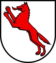 Frick · BFS 4163
 Gansingen · BFS 4164
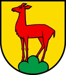 Gipf-Oberfrick · BFS 4165
 Herznach-Ueken · BFS 4186
 Kaisten · BFS 4169
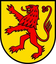 Laufenburg · BFS 4170
 Mettauertal · BFS 4184
 Münchwilen (AG) · BFS 4172
 Oberhof · BFS 4173
 Oeschgen · BFS 4175
 Schwaderloch · BFS 4176
 Sisseln · BFS 4177
 Wittnau · BFS 4181
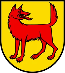 Wölflinswil · BFS 4182
 Zeihen · BFS 4183