Muri / District boundary
Loading map…
‹ All districts
1908 · AG · District
Muri
- BFS number
- 1908
- Canton
- Aargau (AG)
- Population
- 39’64131 December 2024
- Area
- 138.95 km²
Download Muri
Download GeoJSON Covers the area outside the district. Boundary coordinates: WGS 84Municipalities (19)
 Abtwil · BFS 4221
 Aristau · BFS 4222
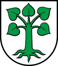 Auw · BFS 4223
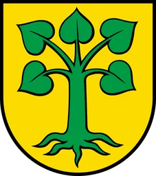 Beinwil (Freiamt) · BFS 4224
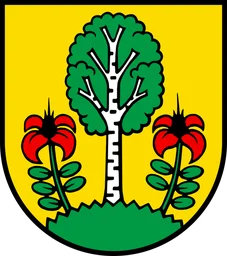 Besenbüren · BFS 4226
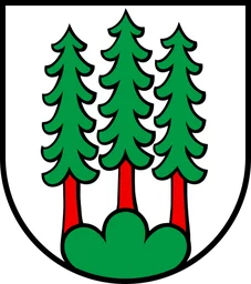 Bettwil · BFS 4227
 Boswil · BFS 4228
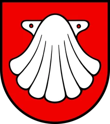 Buttwil · BFS 4230
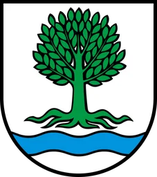 Bünzen · BFS 4229
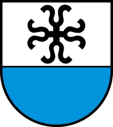 Dietwil · BFS 4231
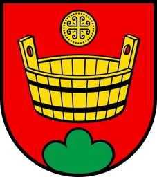 Geltwil · BFS 4232
 Kallern · BFS 4233
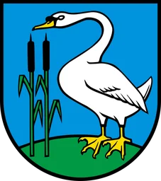 Merenschwand · BFS 4234
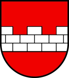 Muri (AG) · BFS 4236
 Mühlau · BFS 4235
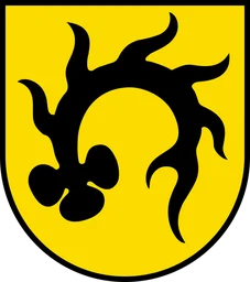 Oberrüti · BFS 4237
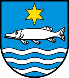 Rottenschwil · BFS 4238
 Sins · BFS 4239
 Waltenschwil · BFS 4240