Zurzach / District boundary
Loading map…
‹ All districts
1911 · AG · District
Zurzach
- BFS number
- 1911
- Canton
- Aargau (AG)
- Population
- 37’97431 December 2024
- Area
- 130.01 km²
Download Zurzach
Download GeoJSON Covers the area outside the district. Boundary coordinates: WGS 84Municipalities (15)
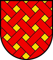 Böttstein · BFS 4303
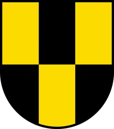 Döttingen · BFS 4304
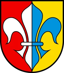 Endingen · BFS 4305
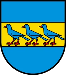 Fisibach · BFS 4306
 Full-Reuenthal · BFS 4307
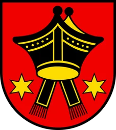 Klingnau · BFS 4309
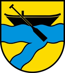 Koblenz · BFS 4310
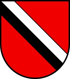 Leibstadt · BFS 4311
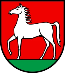 Lengnau (AG) · BFS 4312
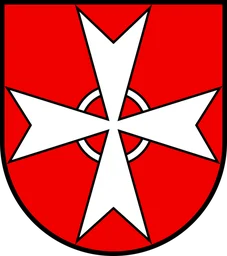 Leuggern · BFS 4313
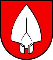 Mellikon · BFS 4314
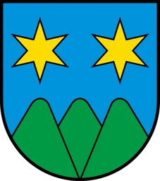 Schneisingen · BFS 4318
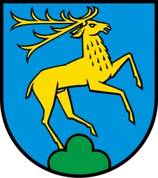 Siglistorf · BFS 4319
 Tegerfelden · BFS 4320
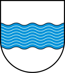 Zurzach · BFS 4324