Weinfelden / District boundary
Loading map…
‹ All districts
2015 · TG · District
Weinfelden
- BFS number
- 2015
- Canton
- Thurgau (TG)
- Population
- 60’19631 December 2024
- Area
- 227.08 km²
Download Weinfelden
Download GeoJSON Covers the area outside the district. Boundary coordinates: WGS 84Municipalities (18)
 Affeltrangen · BFS 4711
 Amlikon-Bissegg · BFS 4881
 Berg (TG) · BFS 4891
 Birwinken · BFS 4901
 Bischofszell · BFS 4471
 Bussnang · BFS 4921
 Bürglen (TG) · BFS 4911
 Erlen · BFS 4476
 Hauptwil-Gottshaus · BFS 4486
 Hohentannen · BFS 4495
 Kradolf-Schönenberg · BFS 4501
 Märstetten · BFS 4941
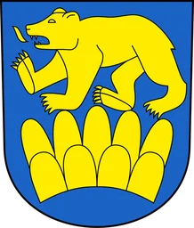 Schönholzerswilen · BFS 4756
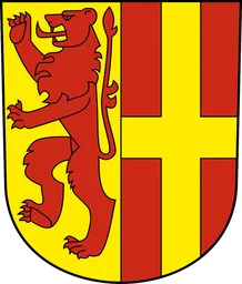 Sulgen · BFS 4506
 Weinfelden · BFS 4946
 Wigoltingen · BFS 4951
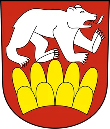 Wuppenau · BFS 4791
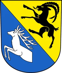 Zihlschlacht-Sitterdorf · BFS 4511