Les Montets / Municipality boundary
Loading map…
‹ All municipalities
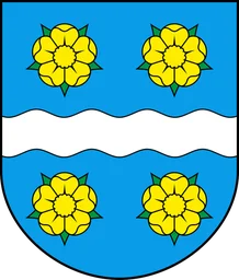
2050 · FR · Municipality
Les Montets
- BFS number
- 2050
- Canton
- Fribourg / Freiburg (FR)
- District
- La Broye (BFS 1001)
- Population
- 1’57231 December 2024
- Area
- 10.29 km²

