IndexMap Source code
Rehetobel / Municipality boundary

Loading map…

‹ All municipalities
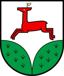
3034 · AR · Municipality

Rehetobel

BFS number
3034
Canton
Appenzell Ausserrhoden (AR)
District
Vorderland (BFS 1503)
Population
1’71431 December 2024
Area
6.72 km²

Download Rehetobel

Download GeoJSON Covers the area outside the municipality. ↓ Original coat of arms · CommonsSource: Wikimedia Commons · Public domain Boundary coordinates: WGS 84

External references