Oberentfelden / Municipality boundary
Loading map…
‹ All municipalities
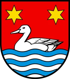
4010 · AG · Municipality
Oberentfelden
- BFS number
- 4010
- Canton
- Aargau (AG)
- District
- Aarau (BFS 1901)
- Population
- 8’94631 December 2024
- Area
- 7.16 km²

